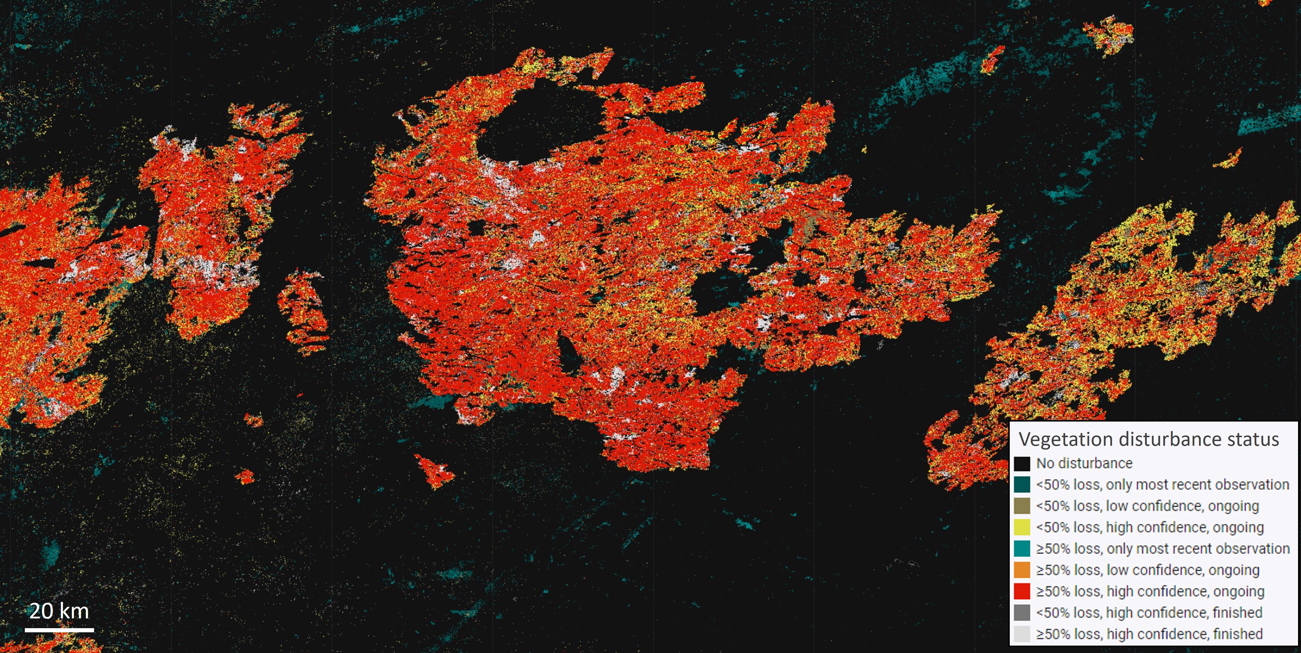
The land disturbance product (DIST-ALERT) maps vegetation loss as well as any spectral variation outside a historical norm using Harmonized Landsat Sentinel-2 (HLS) scenes. Vegetation disturbance is defined as loss of vegetation percent cover relative to the minimum of the baseline, and is reported as the total reduction in vegetation percent cover. Generic disturbance is measured by the distance of the spectral reflectance of an observation from the baseline distribution. Both methods use a baseline of all cloud-free observations from the previous three years within a 31-day window. The dataset is produced as a part of the JPL OPERA project.
Dataset documentation
Product Specification Document
Algorithm Theoretical Basis Document
Data visualization using Google Earth Engine Apps

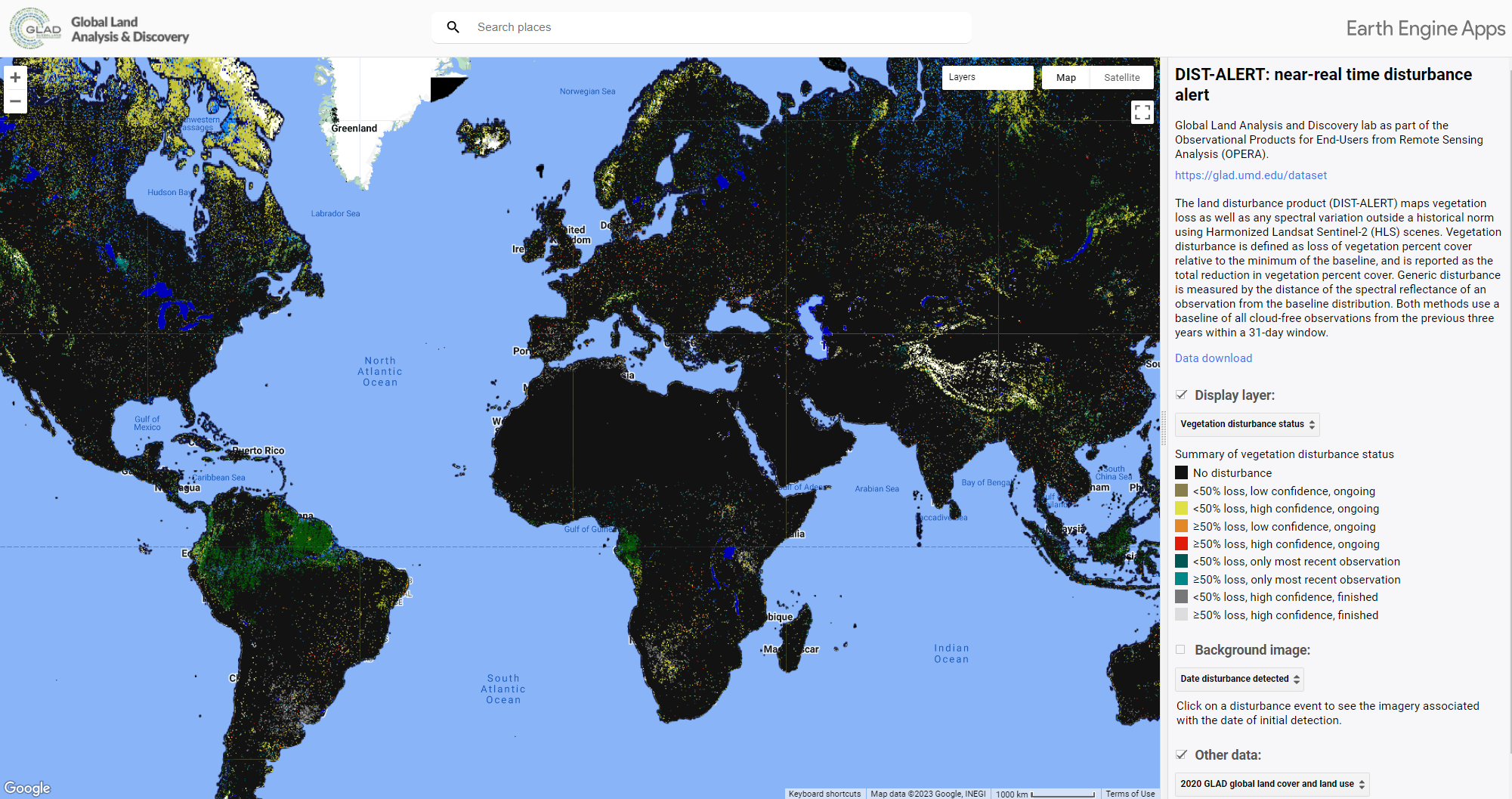
https://glad.earthengine.app/view/dist-alert
Data Download
The dataset has been updated from V0 to V1.